

EMap HDF - pogoda, akist' i zabrudnenna povitra
Open in Google PlayApp details
- Version
- 1.3.2
- Updated
- 08.10.2021
- Category
- Arcade
- Compatibility
- Android 4.0
- Package name
com.elecont.map- Source
- Official Google Play page
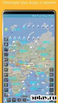
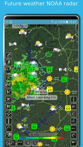
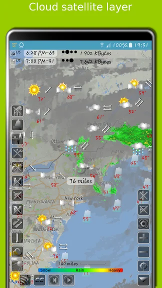
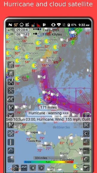
EMap HDF is a comprehensive utility application designed for Android devices that provides detailed meteorological data and environmental monitoring capabilities. This app serves as a powerful tool for users who want to stay informed about local weather conditions and the quality of the atmosphere in their specific area. By leveraging advanced mapping technologies, EMap HDF delivers precise information directly to your mobile device, ensuring you have access to critical environmental data whenever you need it.
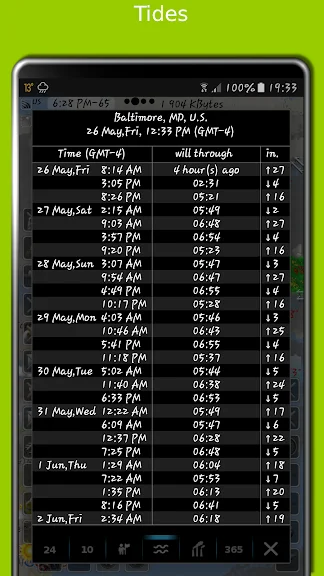
One of the standout features of EMap HDF is its ability to display weather forecasts for several days in advance. Users can easily view predicted conditions, helping them plan their daily activities with greater confidence. Beyond standard weather metrics, the app also tracks various environmental indicators such as population density, traffic levels on roads, and tidal predictions for coastal regions.
This makes it an invaluable resource for both casual users and those with specific professional needs related to outdoor activities or logistics. The application excels in monitoring air quality by showing the concentration of harmful pollutants in the air. It provides detailed data on substances like cadmium gas, ozone, and nitrogen dioxide, allowing users to understand the health implications of their local environment.
Whether you are sensitive to air pollution or simply curious about local environmental standards, EMap HDF offers clear, actionable insights.
How to install the app
- Check the version, Android compatibility, developer and source in the app details block.
- Open the official app page on Google Play if a link is available.
- Before installing, review app permissions and use only sources you trust.
Frequently asked questions
What environmental data does EMap HDF track?
EMap HDF tracks various environmental indicators including population density, road traffic levels, tidal predictions, and specific air pollutants such as cadmium gas, ozone, and nitrogen dioxide for precise local monitoring.
How far in advance does the weather forecast go?
The application provides weather forecasts for several days into the future, allowing users to plan their activities effectively based on predicted meteorological conditions and potential weather advisories.
Is EMap HDF suitable for monitoring air pollution health risks?
Yes, the app is highly suitable for monitoring air pollution health risks as it displays real-time concentrations of harmful substances in the air, helping users make informed decisions about outdoor exposure and health safety.
Can I use EMap HDF to check traffic and tidal data?
Absolutely, EMap HDF includes features that show traffic levels on roads and tidal predictions for coastal areas, making it a versatile tool for logistics, commuting, and coastal activity planning on Android devices.

No comments yet. Be the first!