

Fulcrum GIS field data capture
DownloadApp details
- Version
- 2609.0.1
- Updated
- 13.09.2026
- Category
- Miscellaneous
- Compatibility
- Android 12+
- Package name
com.spatialnetworks.fulcrum- Source
- Official Google Play page
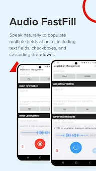
Fulcrum transforms field operations by replacing inefficient, paper-based workflows with an intuitive, AI-powered mobile GIS solution. Designed for both GIS experts and non-technical team members, this Android app empowers field crews to collect, track, and share geospatial data with unprecedented accuracy. Unlike traditional desktop-bound GIS tools, Fulcrum is built for the field, ensuring that data collection happens exactly where the work is done, reducing errors and speeding up decision-making processes significantly.
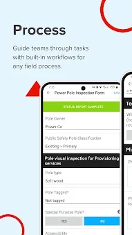
The platform offers robust field process management with real-time data collection capabilities. Users can streamline surveys, inspections, and compliance tracking using mobile data collection applications that are easy to deploy. Whether you are managing infrastructure, utilities, or field equipment, Fulcrum provides the precision needed to track assets effectively.
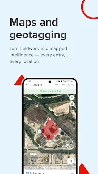
The integrated GPS capabilities ensure that every data point is accurately mapped, providing teams with reliable location data for reporting and analysis. A standout feature is the drag-and-drop form builder, which allows users to create custom inspection checklists and asset tracking forms without any coding knowledge required. This flexibility ensures that the app adapts to your specific workflow needs.
How to install the app
- Check the version, Android compatibility, developer and source in the app details block.
- Open the Downloads tab and use the official source or an available catalog link.
- Before installing, review app permissions and use only sources you trust.
Frequently asked questions
Does Fulcrum work offline on Android devices?
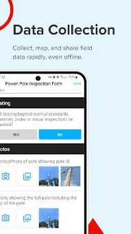
Yes, Fulcrum allows users to capture and store field data without an internet connection. Once the device reconnects to the network, all collected data syncs instantly with the cloud, ensuring no data loss during remote field operations.
Can I integrate Fulcrum with Esri ArcGIS?
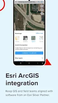
Absolutely. Fulcrum is an Esri Silver Partner and integrates seamlessly with ArcGIS. Users can export geospatial data in formats like GeoJSON and Shapefiles, enhancing mobile GIS data collection and connecting field data directly to existing GIS workflows.
What industries benefit most from using Fulcrum?
Fulcrum is widely used in construction, utilities, environmental services, and land surveying. It helps teams streamline field inspections, manage assets, and ensure compliance by providing accurate, real-time geospatial data collection tools tailored for field use.
Is coding required to create custom forms in Fulcrum?
No, Fulcrum features a drag-and-drop form builder that allows users to create and customize inspection checklists, surveys, and asset tracking forms without any coding knowledge. This makes it accessible for both technical and non-technical field teams.
Similar apps








No comments yet. Be the first!